Observatory Etang 1 walk
Aerial; lac du der, 2013
Coteaux Vitryats Noel Sellier
Tomasson Ch crane
Velo Remorquenos Coeurs Voyageurs Mdt52
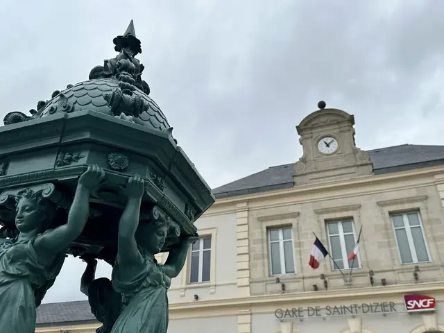
Place Aristide Saint Dizier Pascal Bourguignon Coll.ot Lac Du Der
Places D Armesph.jacquemin
Eat and enjoy
4rn02490 With Noise Emphasis
Paddle boating
Randonnee Trois Fontaines Evelyne Philippe
Lac Du Der Family Paddle V.montane
rain owl boots
Montier En Der Abbey
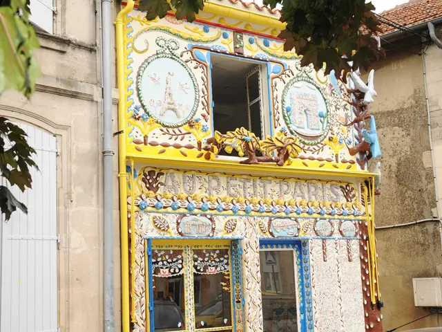
Cast iron statue - Crafts - Art
road map coming soon
FAQ
Lac du Der Tourist Office
Ajouter aux favoris
1
2
3
4
5
6
7
8
9
10
|
Véronique M
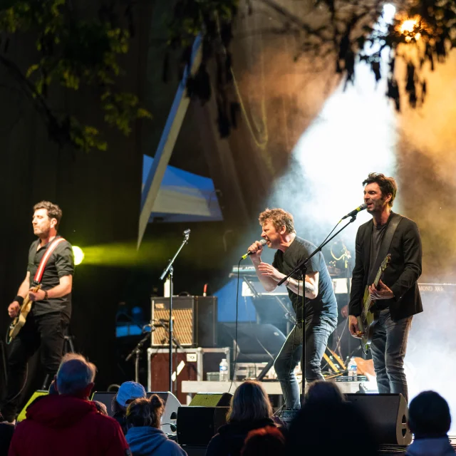
MoovODer concert
4runners
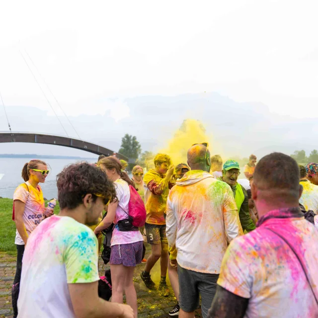
Color Run Du Lac Du Der
Leisure
Pixabay