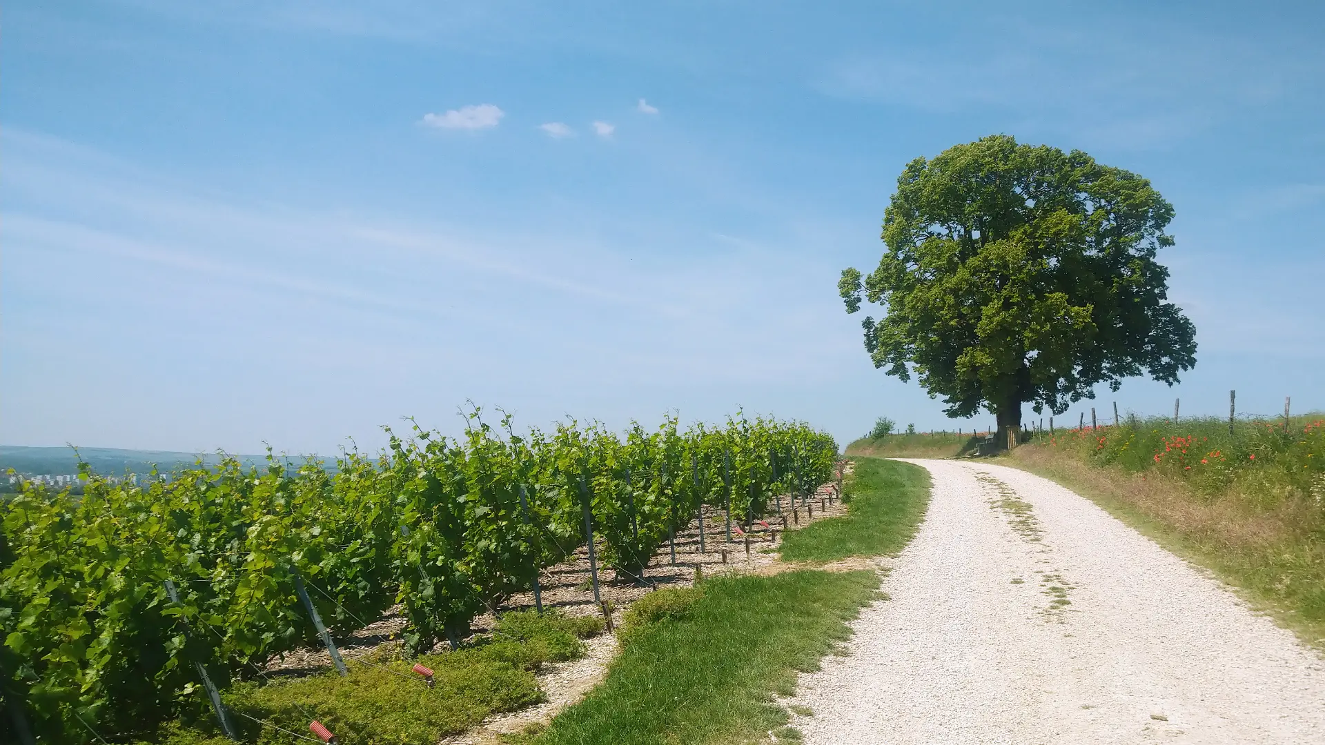
1Mont de Fourche
A breathtaking view of the town of Vitry-le-François in the shade of a beautiful lime tree.
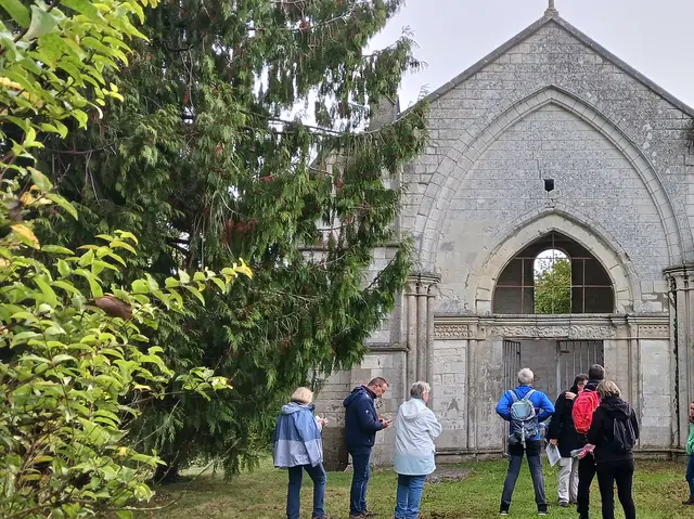
2St. Genevieve Chapel
This site was home to a former priory, of which only the remains of the chapel. The Sainte-Genevieve priory was founded in 865 by the Bishop of Châlons. The building still visible today was restored in 1859.