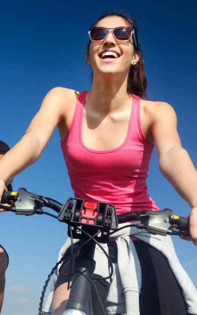
©Elmar Gubisch - Canva

Walks and hikes in Champagne

A breath of fresh air in Lac du Der!

In the midst of idyllic countryside in the Grand Est region, the starting point for your future walks and hikes in and around Lac du Der is an immense playground just waiting to be explored. Before you set off on your adventure, check out our ideas for walks, cycle rides and road trips in the Marne and Haute-Marne.

On foot, by bike or by car to Lac du Der

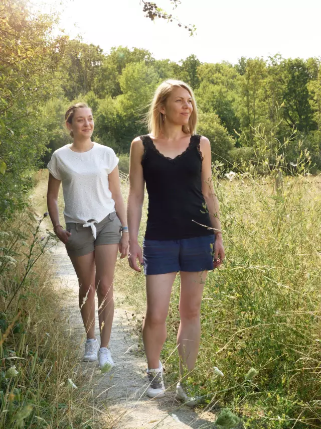
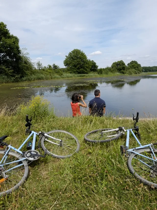
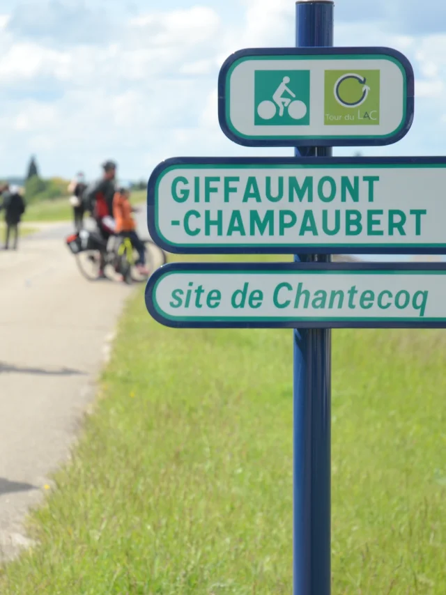
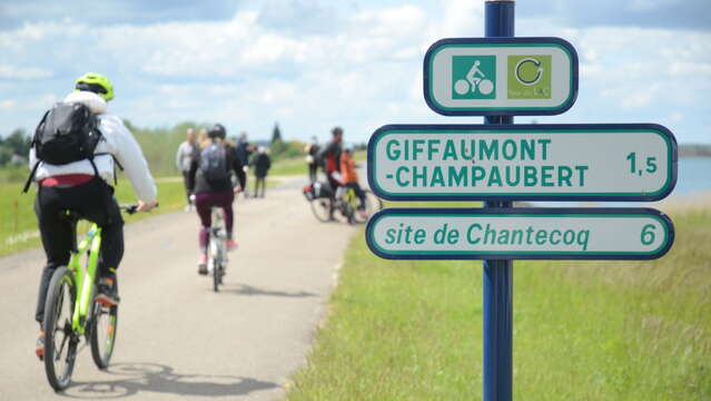
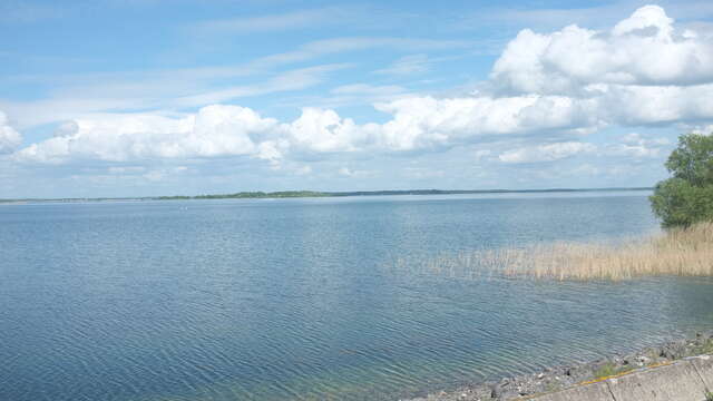
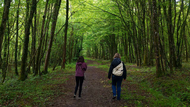
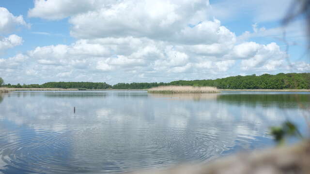
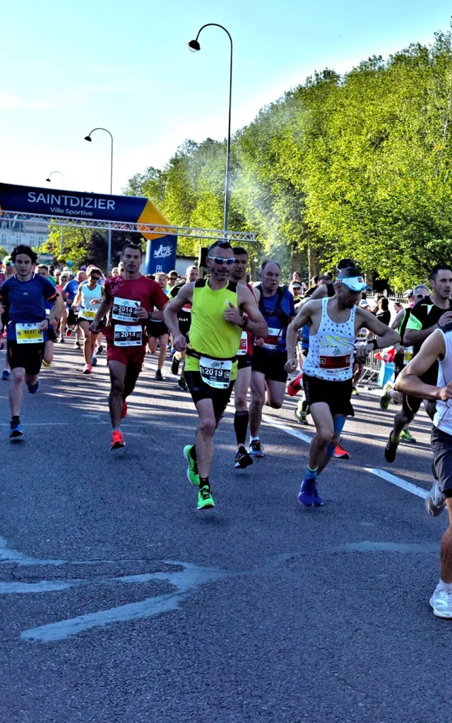
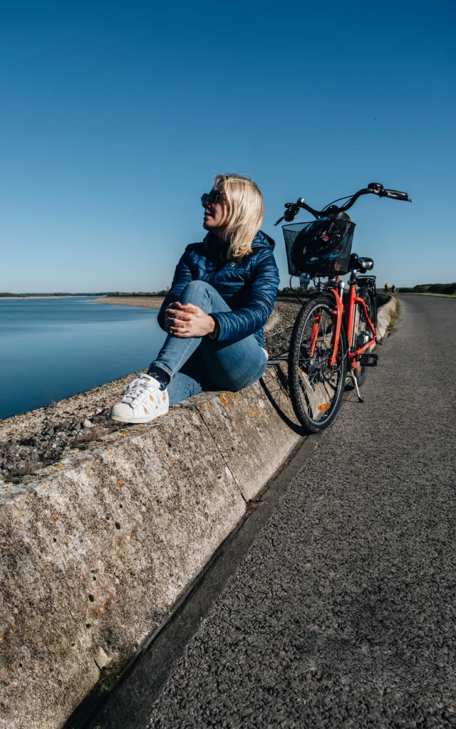
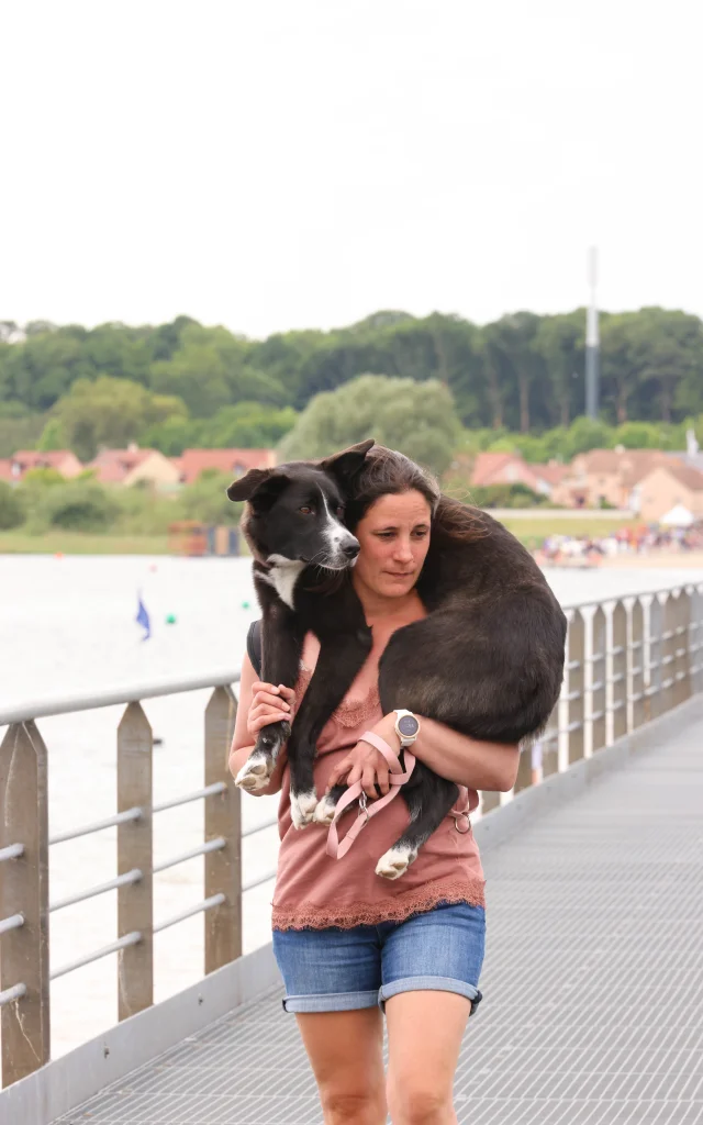
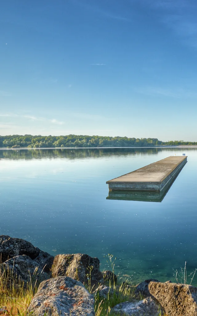
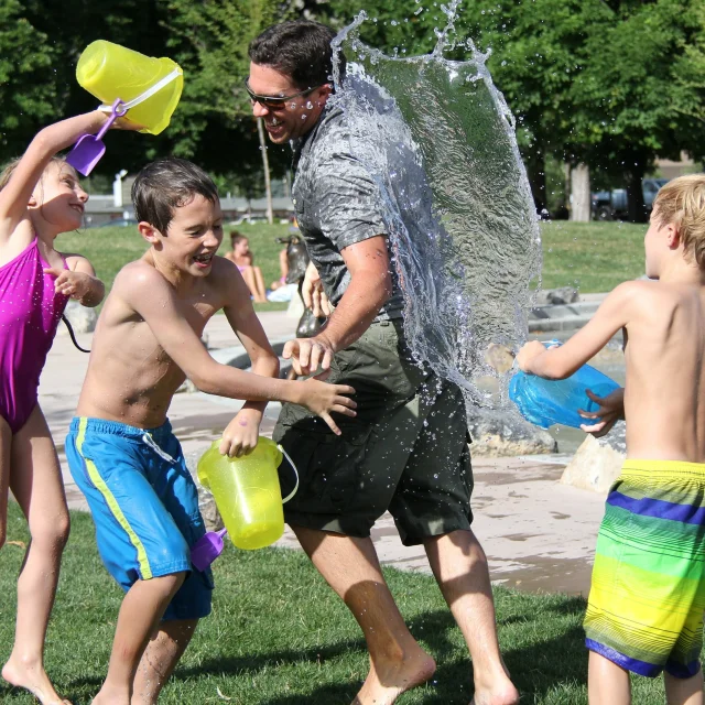
The Lac du Der is a great place to take a stroll in the Champagne region and unwind. The lake’s 77 kilometres of shoreline, its many forests and footpaths and its cycle paths make it the ideal place for walking or cycling. Accessible, free and a change of scenery, walking and cycling are among the top things to do at Lac du Der.

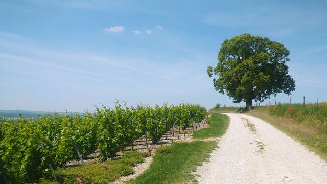
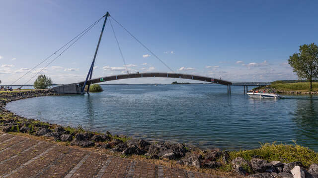
On the paths of the Der national forest, around the Outines ponds and its unspoilt nature, on the cycle path or along a tourist route, discover the hidden treasures of the Lac du Der. A real treasure chest, which once opened will reveal its unusual corners, its picturesque countryside and its 100% local heritage.

More than 50 walks and hikes in the Champagne region

Around the Lac du Der, explore more than 50 hiking, walking and sightseeing itineraries suitable for families and experienced sports enthusiasts alike.

Each hike is accompanied by a description, photos, points of interest, gradients and colour-coded signposting. You can also download the GPX route. PDF files can also be printed out for certain walks.

Whether you’re looking for a green getaway, a short walking loop or a long nature trail in the Marne, Lac du Der promises unforgettable experiences on every walk!

Themed walks and hikes

The Champagne region and the Lac du Der are full of treasures to explore through themed walks and hikes. Whether it’s an immersion in the vineyards, a dive into local history, or an adventure around the lake, each themed itinerary is designed to enrich your walking experience. With family, friends or on your own, let our suggestions be your guide and discover the many facets of the Lac du Der!

Report a fault during your walk

If you encounter a problem while out walking, you can report it to the Suricate online platform or its mobile application.

Suricate puts nature sports enthusiasts in touch with the managers of the places where they practice, to preserve the quality of the areas, sites and itineraries used for nature sports and leisure activities.
You can report a signposting error, a defective sign, a dangerous spot that needs to be made safe, or a damaged structure. Your report will be passed on to and processed by a network of administrators (local authorities, sports federations, government departments, nature area managers, etc.) so that appropriate solutions can be put in place.

In the event of an emergency requiring the intervention of the emergency services, call 112 immediately or dial 114 (deaf or hard-of-hearing people).

Your questions about hiking

Find the answers to your frequently asked questions about hiking and walking around the Lac du Der. If you can’t find the answer you’re looking for, don’t hesitate to contact us!

  • Which trail to start with?

    At Lac du Der there are a number of walks that may be of interest to beginners.

    For a short loop on foot, the Etangs d’Outines walk is a good option. For a longer but still easy route, the Entre Dame et Chevalier hike is a good choice.

    For cycling, we suggest the Tour du Lac à vélo, which, despite being 36km long, is easy to do on flat ground. You can make life easier by opting for an electrically assisted bike. You’ll find plenty of choices on our bike hire page.

  • Is it safe to walk around on hunting days?

    Several hunting zones and reserves are located in the forests and around the villages of the Lac du Der region. Although it is not forbidden to walk in these areas on hunting days, it is potentially dangerous. Hunting in progress” signs are usually visible on a hunting day to warn walkers and motorists.

    Despite all the precautions taken by hikers and hunters, we recommend that you plan your walk outside the hunting season.

    To find out about hunting periods and days, we recommend that you contact the Fédérations Départementales des Chasseurs (Departmental Hunting Federations). The FDC 51 for the Marne and the FDC 52 for the Haute-Marne.

    You can also contact the town halls to find out the calendar of hunting days in your local area.

  • What is a GPX track and how do I use it?

    A GPX file contains the GPS coordinates of the hike or walk. Once opened on your GPS or mobile phone, it allows you to plot the route of your walk on a base map and locate your position on the route in real time. It’s essential if you want to avoid getting lost and walk or cycle with complete peace of mind.

    To access this file, you need a hiking GPS or a simple smartphone.

    If you have a hiking GPS (Garmin, Twonav, etc.), please refer to the manufacturer’s instructions.

    If you want to download this file to your phone, you’ll need a hiking application to open it. You can download applications such as GPX Viewer, Decathlon Outdoor or Visorando from the App Store (iOS) or Play Store (Android). You’ll be spoilt for choice!

    On each of our hiking web pages, you’ll see a button for downloading the GPX track of the route.

  • What does GR® mean in hiking?

    GR® stands for Sentier de Grande Randonnée. These are long routes that can cross several countries. This is the case, for example, of the GR® 654, which is one of the routes to Santiago de Compostela, or the GR® 145, which is the path of the Via Francigena. The GR® are demanding hikes that generally take several days or weeks to complete. So it’s important to get organised beforehand, pack accordingly and find places to sleep.

    The markings on these paths are white lines superimposed on red lines.

  • Which GR® pass around the Lac du Der?

    Several GR® trails pass through the Champagne region close to the Lac du Der.

    These include

    • The GR® 654 – Pilgrim’s Way to Santiago de Compostela
    • The GR® 145 – Via Francigena Way
    • The GR® 15 through Champagne and the Marne Valley
    • The GR® 14 – The Ardennes Trail and its variant, the GR 14B
  • What is the difference between GR® and GRP®?

    GRP® or GR® de Pays are Sentiers de Grande Randonnée de Pays. Unlike the GR®, the GRP® is a loop, whereas the GR® is not a circuit where the starting point is also the finishing point. The GRP® is shorter than the GR® and does not lead through different countries.

    GRP® trails can be demanding, covering dozens of kilometres and divided into several daily stages. Advance preparation is required to equip yourself and find accommodation along the route of your walk.

    The GRP® signposting is a yellow line superimposed on a red line.

  • I've heard about a hike but I can't find it on your website, why?

    Our website and walks page are regularly updated. New hikes and walks are published on the site as soon as we become aware of a route that lies within the Lac du Der region. Checking and creating the route using our hiking tool can take a little time. Don’t hesitate to check this page and our walking and cycling sections frequently.