Aller au contenu principal
Voir les favoris
en
Menu
Tourist Office Lac du Der en Champagne
Discover
Want to ...
Birdwatching
Take the plunge
Walking, cycling, breathing
Fishing at Lac du Der
Flying over the lake
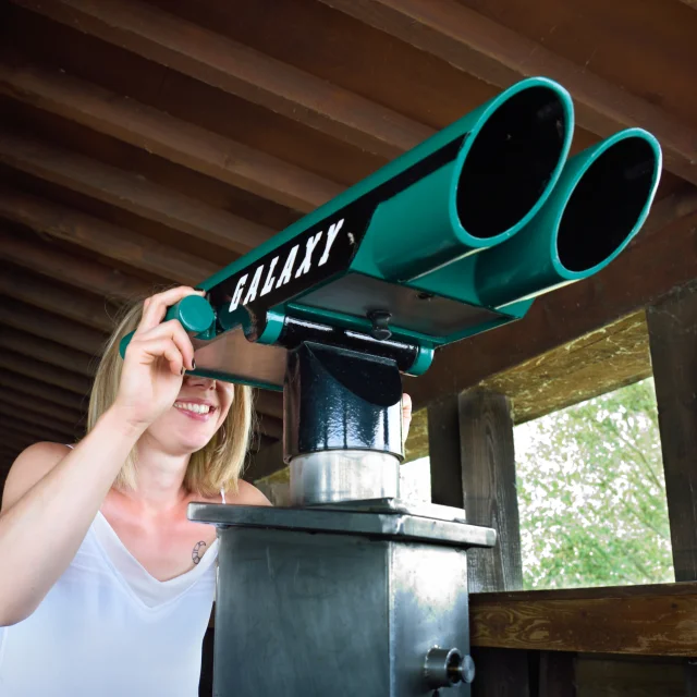
Observatory Etang 1 walk
©
Observatory Etang 1 walk
Our must-haves
Aerial; lac du der, 2013
©
Aerial; lac du der, 2013
Lac du Der in Champagne
Coteaux Vitryats Noel Sellier
©
Coteaux Vitryats Noel Sellier
Champagne tourist routes
Tomasson Ch crane
©
Tomasson Ch crane
The magic of the Common Crane sunrise
Velo Remorquenos Coeurs Voyageurs Mdt52
For one day
Place Aristide Saint Dizier Pascal Bourguignon Coll.ot Lac Du Der
Saint-Dizier
Places D Armesph.jacquemin
Vitry-le-François
Organize
ACCOMMODATION
Camping
Vacation rentals
Bed & Breakfast
In Unusual Lodging
At the Hotel
Eat and enjoy
©
Eat and enjoy
Eat and Enjoy
4rn02490 With Noise Emphasis
©
4rn02490 With Noise Emphasis
Agenda
ACTIVITIES
Walks and hikes
Bicycle and other vehicle rental
All leisure activities
Visits
Beaches and swimming
Paddle boating
©
Paddle boating
Nautical activities
Randonnee Trois Fontaines Evelyne Philippe
All our tours
Lac Du Der Family Paddle V.montane
With my children
rain owl boots
©
rain owl boots
Great! It's raining.
Montier En Der Abbey
©
Montier En Der Abbey
Museums and heritage
Cast iron statue - Crafts - Art
©
Cast iron statue - Crafts - Art
Art and Crafts
PRACTICALITIES
HOW TO COME
Markets and flea markets
Clubs and Associations
Shops and Services
road map coming soon
©
road map coming soon
How do I get there?
FAQ
©
FAQ
Frequently asked questions
By camper van
With my dog
Lac du Der Tourist Office
©
Lac du Der Tourist Office
Lac du Der Tourist Office
3 ideal picnic areas
Syndicat du Der
Home
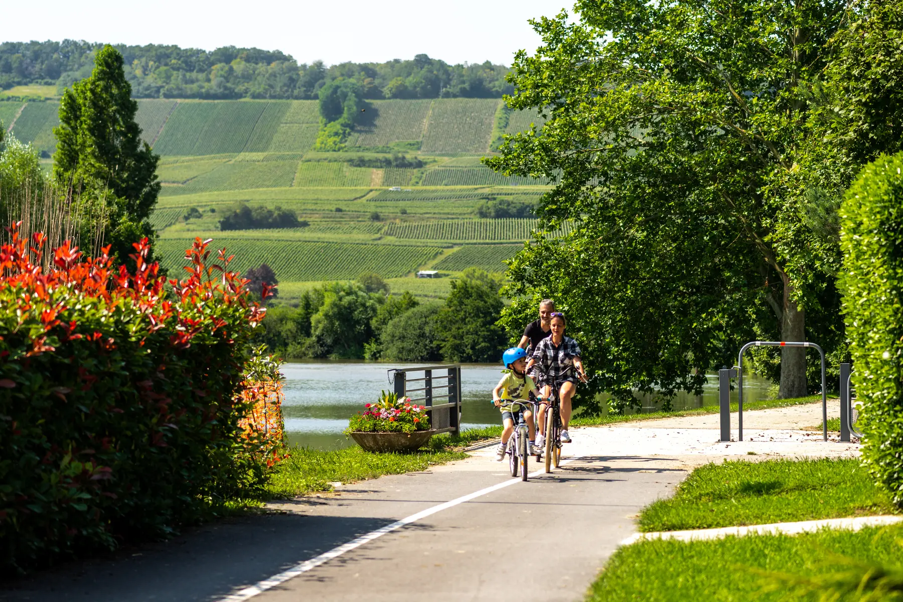
Véloroute 52 : De Dormans à Vitry-le-François
Véloroute 52 : De Dormans à Vitry-le-François
51700 Dormans
Getting there
×
Open the itinerary in
Google Maps
Apple Plans
Waze
Mappy
Share
Ajouter aux favoris
Add to my favorites
×
Share this sheet
Véloroute 52 : De Dormans à Vitry-le-François
E-mail
WhatsApp
Facebook
X
LinkedIn
Pinterest
©
M. Boudot-coll. ADT Marne
Documentation
Documentation
carte V52-2025 BD.pdf
Close
Popular searches
{% label %}
Page suggestions
Observatory Etang 1 walk
©
Observatory Etang 1 walk
|
Véronique M
Our must-haves
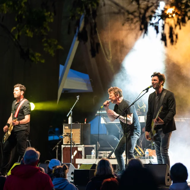
MoovODer concert
©
MoovODer concert
|
4runners
Festivals & Major Events
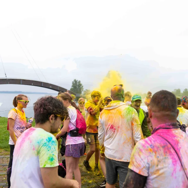
Color Run Du Lac Du Der
©
Color Run Du Lac Du Der
|
4runners
All agenda
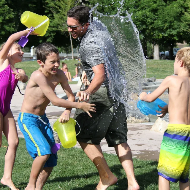
Leisure
©
Leisure
|
Pixabay
All leisure activities
Filter search
Page types
All
Articles
Agenda
Lists
Aucun résultat
/
English
Français
Deutsch
Español
Nederlands
Close
×